Hiking in Slovenia » Vipava Valley » Sončnica
The steep hike from Budanje to Sončnica (a prominent overhanging rocky outcrop at the edge of the Gora plateau) is an ideal opportunity to burn the few extra fat cells you were so carefully nurturing during the winter months.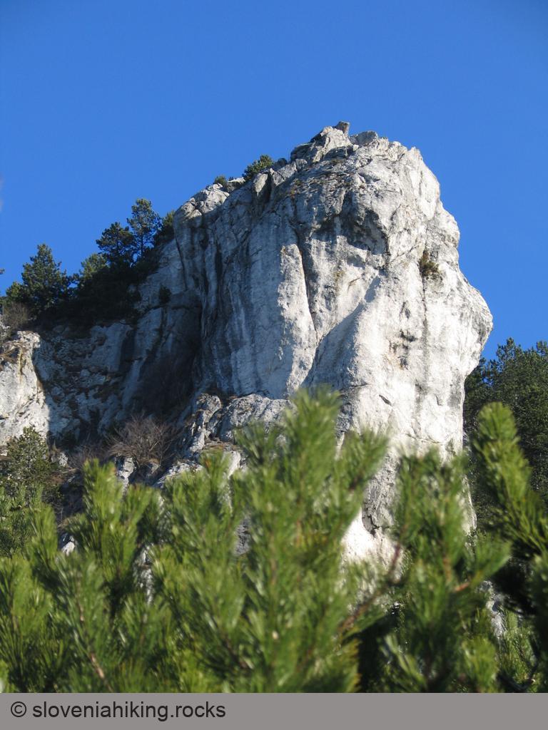
At a Glance
- Difficulty
- Steep hike through a pine forest
- Altitude
- 867 m
- Average time
-
Ascent: 1 hour
Descent: 45 minutes
Total: 2 hours
- Elevation gain
- 450 m
- Coordinates
-
Start: 45.879298,13.959525
Peak: 45.886711,13.960029
In a Nutshell
- Start the hike at a roadside parking space just above the hunting hut in Budanje.
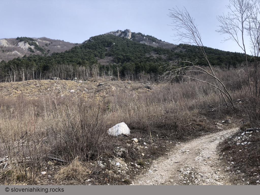
- Years ago, there was a sign for Kovk pointing to a dirt trail leading uphill. That sign is long gone, but the dirt trail is impossible to miss.
- The dirt trail morphs into a narrow footpath when it meets the steep slopes of Gora. You’ll also notice the first red arrows and waymarks – follow them to the Gora plateau.
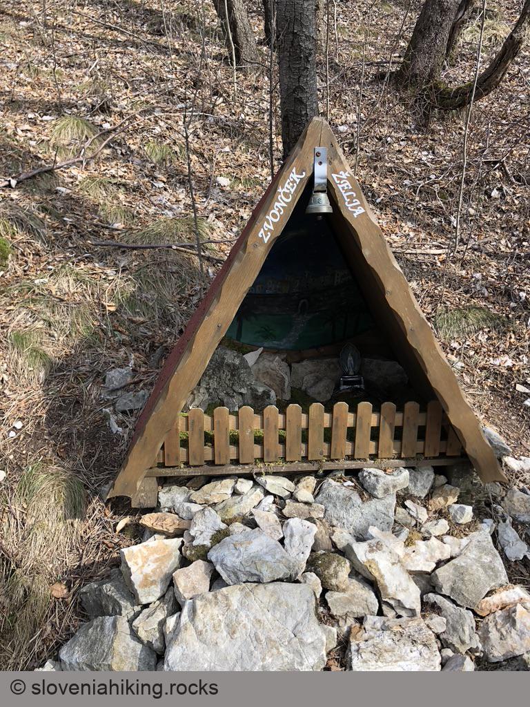
- A bit above the halfway point, you’ll get to an impossible-to-miss rock shelter. If you do the hike around Christmas, you might encounter a tiny Nativity scene there.
- Another Nativity scene is waiting for you a few meters before the footpath reaches the edge of the plateau. It was a bit boring the last time I walked by – everyone left, leaving Mother Mary all alone in front of Bethlehem skyline.
- When you reach Gora’s sunny pastures, follow the wider footpath going left toward a paragliding take-off point.
- Take a break and enjoy the view ;)
Photo Gallery


Map of the Route
The map shows the path we took as recorded by the GPS receiver. Never trust a GPS track wholeheartedly; rely on your senses and maps.